GeographySanmenxia City is located in the hilly western portion of Henan Province at the convergence of the Henan, Shanxi, and Shaanxi provinces. The Henan province occupies the south bank of the central section of the Yellow River where it cuts through the Loess Plateau, and separates it from the Shanxi province to the north. It is surrounded on three sides by four mountain ranges, the western ranges forming the boundary between the North China Plain and the Shanxi Plateau. The Taihang and Zhongtiao Mountains are part of the Permian Taihang fold belt, which was at one time the eastern coastline.
|
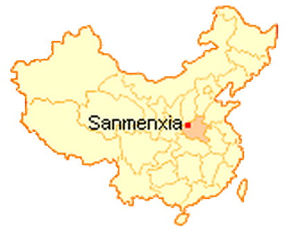
Image acquired from Wikimedia Commons. Web. Accessed March 2016.
|
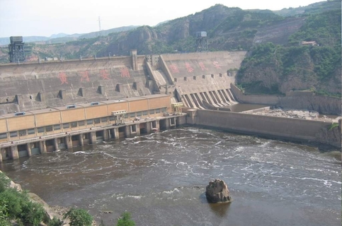
Image acquired from Wikimedia Commons. Web. Accessed March 2016.
|
HydrologyThe Yellow River cuts through the surrounding mountains and hills at ~350-900 meters above sea level, and has average width of 3 km; in some areas, the average width is up to 5 kilometers. This river system partially drains into surrounding swamps, marshes and wetlands causing seasonal localized flooding. The Yellow River historically has flooded disastrously. Large silt loads carried by the river built up the plain to the east, and pushed the coastline out to where it lies today. Silt carried by glacial melt and later loess deposits filled in the basin east of the mountains. The floods continued along the plain, raising the levees and river bed above the surrounding area. Soils became caliche-cemented, and saline (Dong et al). Flood control efforts resulted in the Three Gates Dam in Sanmenxia completed in 1960. While the hydroelectric dam has succeeded in controlling the floods downstream, the large silt load carried by the river has resulted in very limited electrical production.
|
Webpage created for ES 767 Wetland Environments of Emporia State University. Professor: Dr. JS Aber 2016.
